
 Image 1 of 4
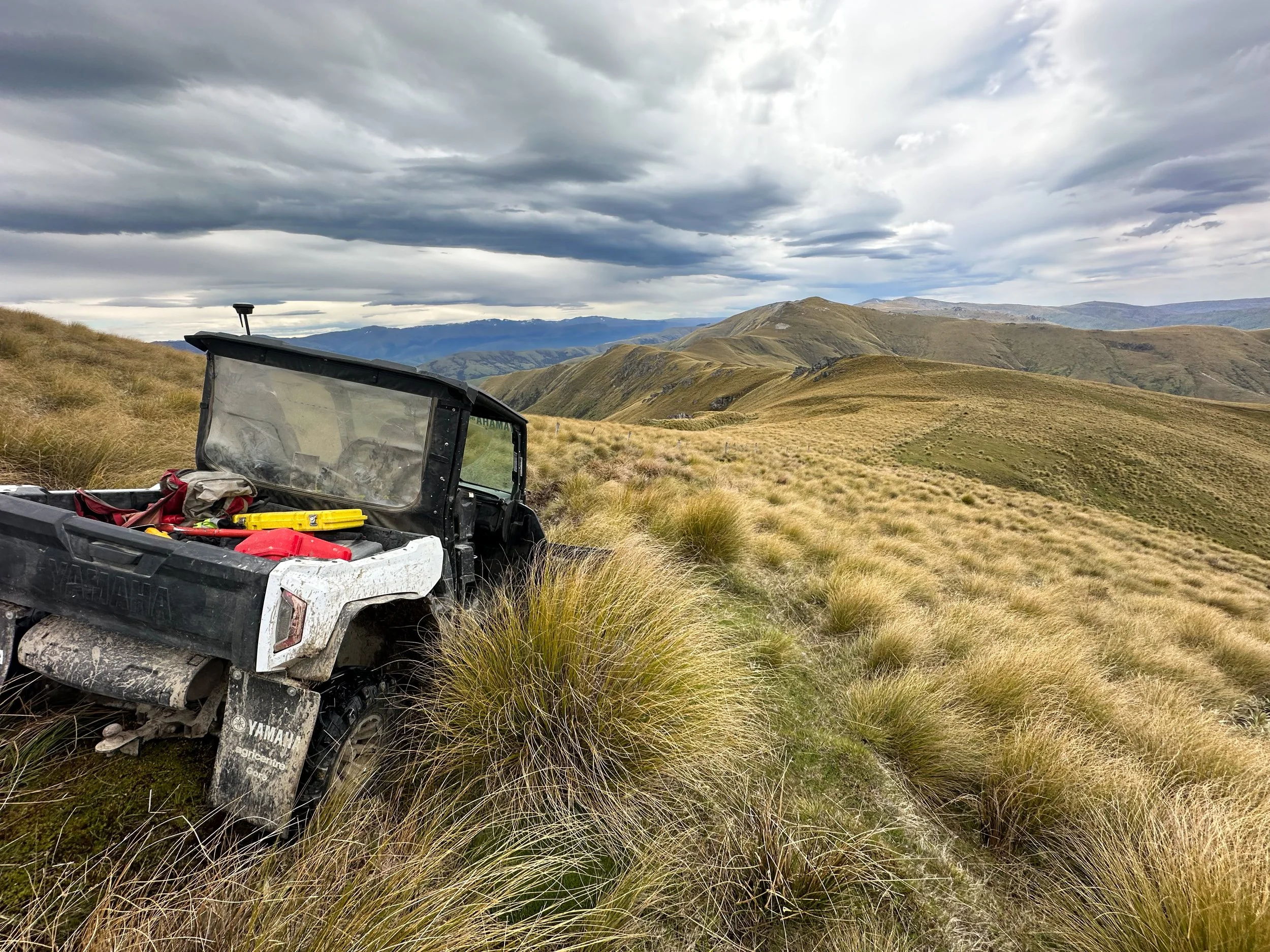 Image 2 of 4
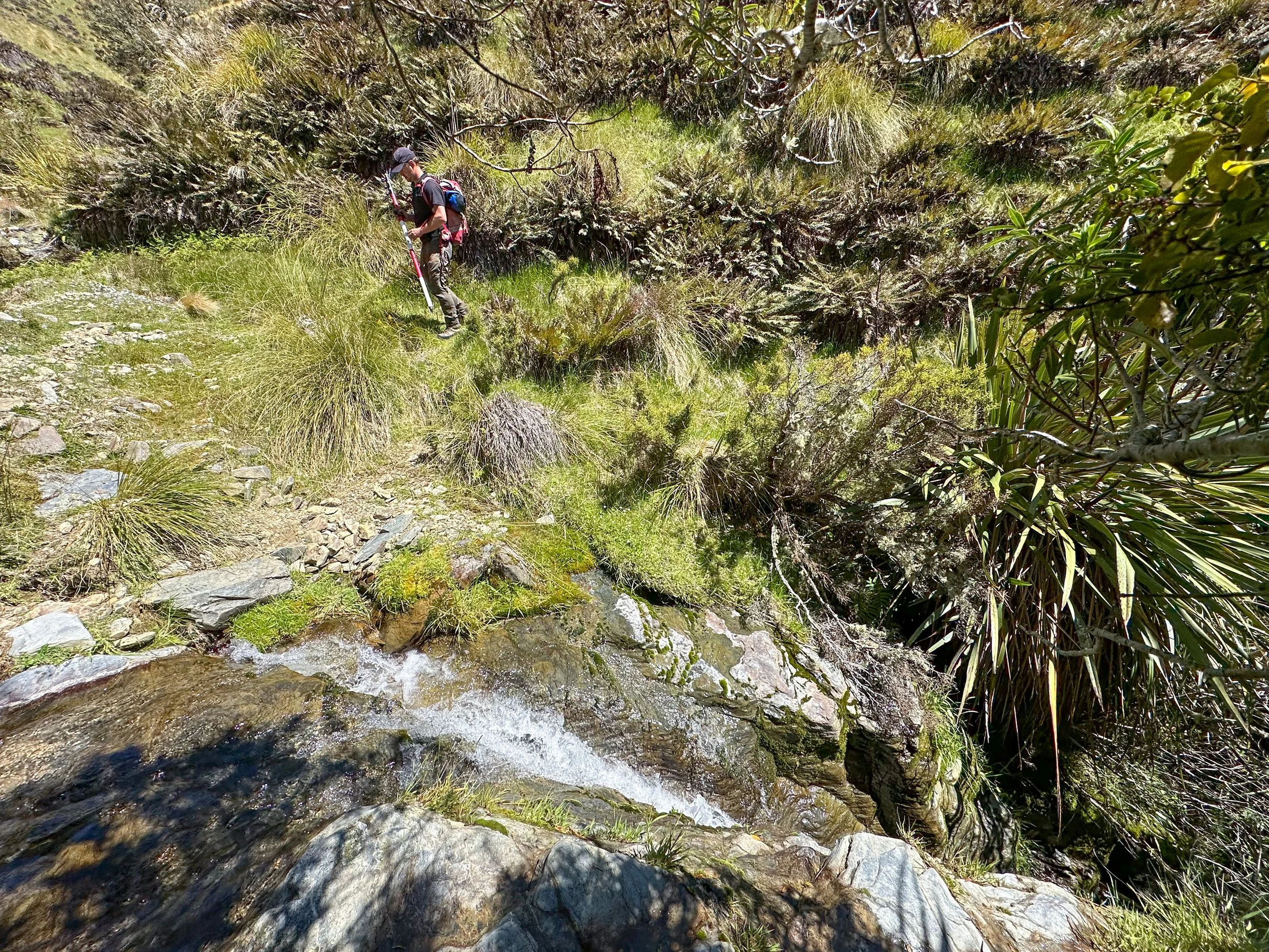 Image 3 of 4
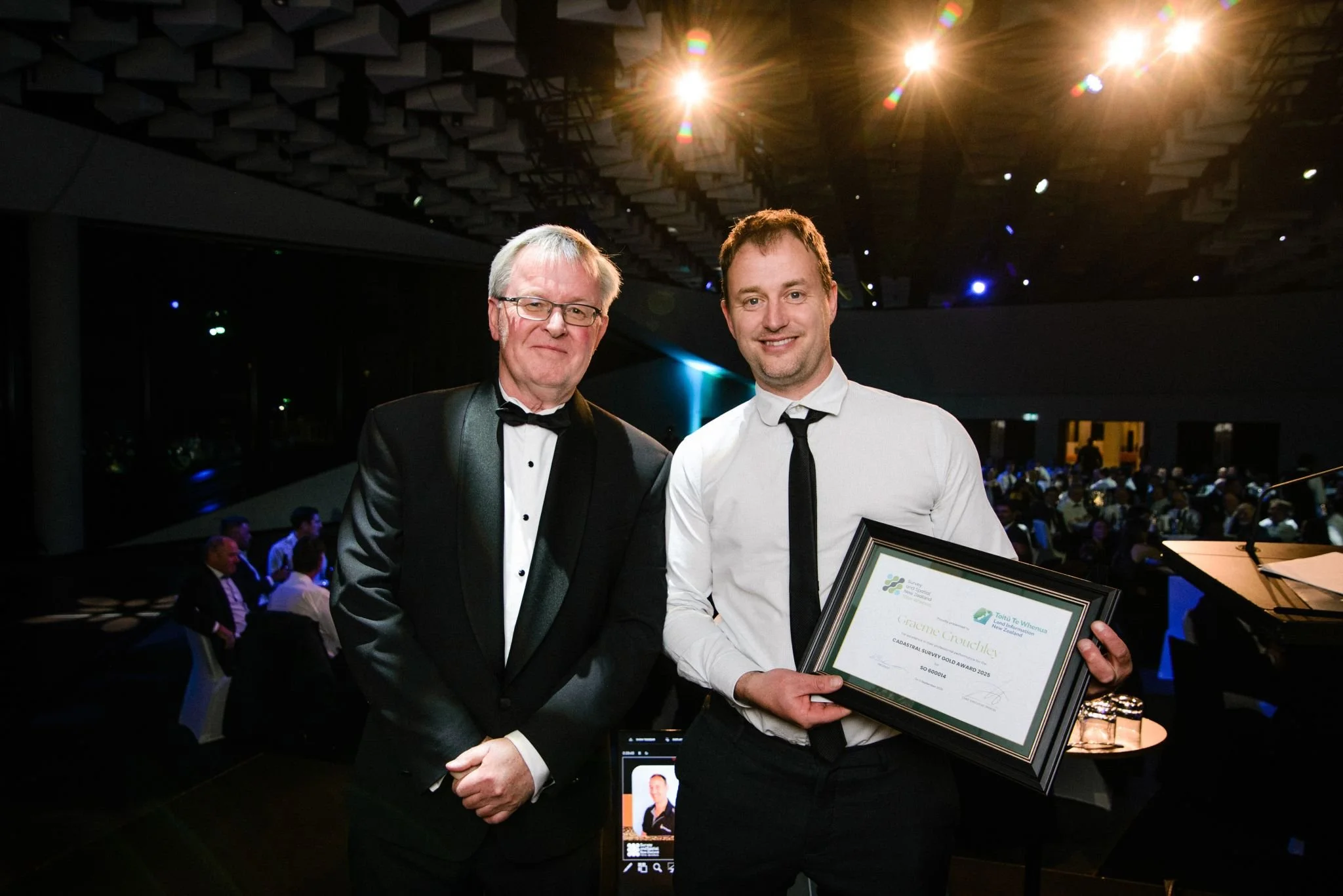 Image 4 of 4
Hukarere Station's tenure review was about establishing the framework for future ownership, conservation, and public access across a significant high-country landscape. Delivering that outcome required a complex cadastral survey to accurately define and legally establish each new land interest.
A pastoral lease is a form of Crown-owned land that is leased to runholders for farming and grazing. Through the tenure review process, parts of the lease may move into private ownership, while other areas may be retained for conservation, public access, or the protection of significant natural features. These decisions can fundamentally reshape how a property is owned, managed, and accessed into the future.
Hukarere Station required the conversion of a complex tenure review proposal into legally recognised property boundaries, creating the cadastral framework that now underpins future ownership, conservation management, and public access across the property.
Challenge
Hukarere Station wasn't a typical cadastral survey. The tenure review proposed creating a range of new land parcels, including freehold land, conservation areas, public access routes, easements, hydro areas, covenants, and marginal strips. Before any of these could be legally recognised, every boundary needed to be accurately located and defined on the ground.
Many of the survey records underpinning the property were decades old, with some cadastral information dating back more than a century. Re-establishing and redefining boundaries required careful interpretation of historic survey plans and evidence before new boundaries could be accurately positioned and legally defined. Existing fences didn't always align with legal boundaries, natural features such as rivers and streams added further complexity, and the final survey needed to satisfy the requirements of LINZ and multiple stakeholders.
Create
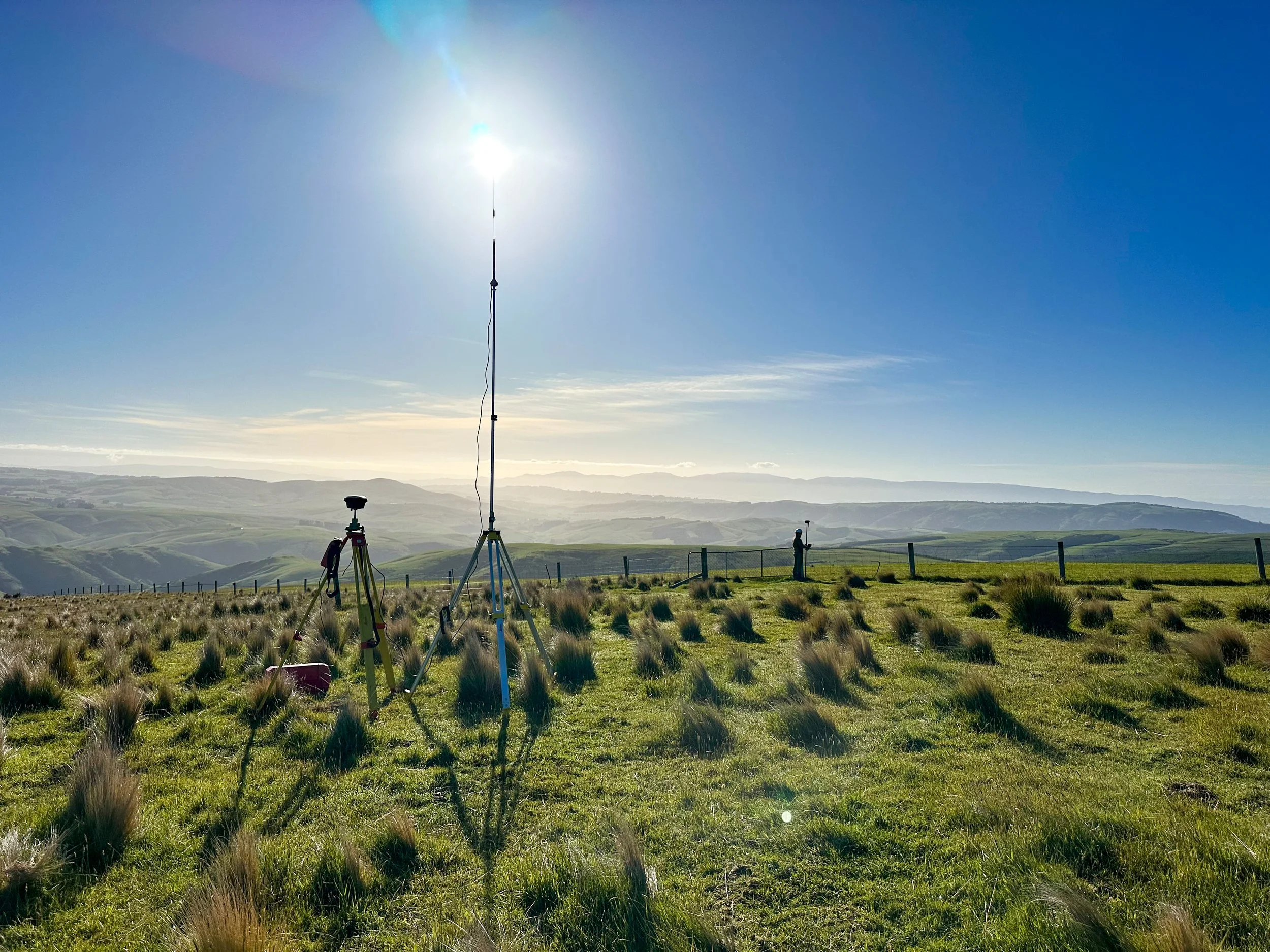
Working for Landward Management, our survey team spent months interpreting the tenure review proposal and converting it into a legally defined survey. The work combined extensive field surveying using GNSS and total station technology with detailed research into historic survey records, boundary evidence, and existing land interests.
Each proposed parcel, easement, covenant, hydro area, conservation area, and access corridor had to be carefully assessed and legally defined so the final outcome reflected both the intent of the tenure review and the realities of the landscape. The resulting work formed Survey Office Plan SO 600014, providing the legal framework required to implement the tenure review.
Solve
The completed survey turned a complex land tenure proposal into legally defined boundaries that can now be relied upon by landowners, government agencies, and future generations. What existed as a concept on paper was transformed into a clear and enduring cadastral framework defining exactly where ownership, conservation land, public access, and other land interests begin and end.
Projects of this nature require surveyors to piece together historic information, modern survey measurements, and physical evidence on the ground to create certainty where uncertainty previously existed. The result is a legally robust survey framework that will continue to support the management and protection of the land long into the future.
The quality and complexity of the work were recognised nationally when Graeme Crouchley received the 2025 Cadastral Survey of the Year Award for his work on the Hukarere Station tenure review project.
This project reflects the type of surveying work Bonisch thrives on, interpreting historic boundary information, solving complex land tenure challenges, and creating legal boundaries that will stand the test of time.
Services Provided
Cadastral Surveying
Tenure Review Implementation
Survey Office Plan Preparation
Easement and Covenant Definition
Hydro Area Mapping
GNSS and Total Station Surveying
LINZ and Stakeholder Coordination
Hukarere Station's tenure review was about establishing the framework for future ownership, conservation, and public access across a significant high-country landscape. Delivering that outcome required a complex cadastral survey to accurately define and legally establish each new land interest.
A pastoral lease is a form of Crown-owned land that is leased to runholders for farming and grazing. Through the tenure review process, parts of the lease may move into private ownership, while other areas may be retained for conservation, public access, or the protection of significant natural features. These decisions can fundamentally reshape how a property is owned, managed, and accessed into the future.
Hukarere Station required the conversion of a complex tenure review proposal into legally recognised property boundaries, creating the cadastral framework that now underpins future ownership, conservation management, and public access across the property.
Challenge
Hukarere Station wasn't a typical cadastral survey. The tenure review proposed creating a range of new land parcels, including freehold land, conservation areas, public access routes, easements, hydro areas, covenants, and marginal strips. Before any of these could be legally recognised, every boundary needed to be accurately located and defined on the ground.
Many of the survey records underpinning the property were decades old, with some cadastral information dating back more than a century. Re-establishing and redefining boundaries required careful interpretation of historic survey plans and evidence before new boundaries could be accurately positioned and legally defined. Existing fences didn't always align with legal boundaries, natural features such as rivers and streams added further complexity, and the final survey needed to satisfy the requirements of LINZ and multiple stakeholders.
Create
Working for Landward Management, our survey team spent months interpreting the tenure review proposal and converting it into a legally defined survey. The work combined extensive field surveying using GNSS and total station technology with detailed research into historic survey records, boundary evidence, and existing land interests.
Each proposed parcel, easement, covenant, hydro area, conservation area, and access corridor had to be carefully assessed and legally defined so the final outcome reflected both the intent of the tenure review and the realities of the landscape. The resulting work formed Survey Office Plan SO 600014, providing the legal framework required to implement the tenure review.
Solve
The completed survey turned a complex land tenure proposal into legally defined boundaries that can now be relied upon by landowners, government agencies, and future generations. What existed as a concept on paper was transformed into a clear and enduring cadastral framework defining exactly where ownership, conservation land, public access, and other land interests begin and end.
Projects of this nature require surveyors to piece together historic information, modern survey measurements, and physical evidence on the ground to create certainty where uncertainty previously existed. The result is a legally robust survey framework that will continue to support the management and protection of the land long into the future.
The quality and complexity of the work were recognised nationally when Graeme Crouchley received the 2025 Cadastral Survey of the Year Award for his work on the Hukarere Station tenure review project.
This project reflects the type of surveying work Bonisch thrives on, interpreting historic boundary information, solving complex land tenure challenges, and creating legal boundaries that will stand the test of time.
Services Provided
Cadastral Surveying
Tenure Review Implementation
Survey Office Plan Preparation
Easement and Covenant Definition
Hydro Area Mapping
GNSS and Total Station Surveying
LINZ and Stakeholder Coordination